Satellite imagery Courses
Explore instructor-led and hybrid programs aligned to practical Satellite imagery use cases across industries.
Available Satellite imagery Courses
Showing 1-3 of 3 courses

10 days
Accra, Addis Ababa, Bangkok, Cape Town, Dubai, Istanbul, Kigali, Nairobi, Singapore
Remote Sensing for Conservation Training Course
Remote Sensing for Conservation Training Course is designed to equip conservation professionals with the technical skills to leverage satellite imagery, aerial surveys, and other earth observation data to effectively manage natural resources, protect biodiversity, and implement sustainable conservation strategies
Remote Sensing for Conservation Training Course is designed to equip conservation professionals with the technical skills to leverage satellite imagery, aerial surveys, and other earth observation data to effectively manage natural resources, protect biodiversity, and implement sustainable conservation strategies
10 days
Accra, Addis Ababa, Bangkok, Cape Town, Dubai, Istanbul, Kigali, Nairobi, Singapore
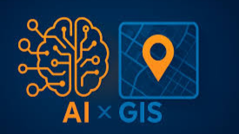
Training Course on Geospatial AI and Satellite Imagery Analysis
Training Course on Geospatial AI & Satellite Imagery Analysis provides a comprehensive dive into the cutting-edge methodologies and practical applications of GeoAI and satellite imagery analysis
Training Course on Geospatial AI & Satellite Imagery Analysis provides a comprehensive dive into the cutting-edge methodologies and practical applications of GeoAI and satellite imagery analysis
10 days
Accra, Addis Ababa, Bangkok, Cape Town, Dubai, Istanbul, Kigali, Nairobi, Singapore
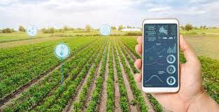
Training Course on Satellite Imagery Interpretation for Yield and Stress Monitoring
. Training Course on Satellite Imagery Interpretation for Yield and Stress Monitoring equips participants with the practical skills and analytical tools necessary to interpret satellite data for crop health monitoring, yield forecasting, and early stress detection.
. Training Course on Satellite Imagery Interpretation for Yield and Stress Monitoring equips participants with the practical skills and analytical tools necessary to interpret satellite data for crop health monitoring, yield forecasting, and early stress detection.